Satellite Images Reveal Expansion of Two Displacement Camps in Sudan as War Intensifies
Mashawir – Follow-ups
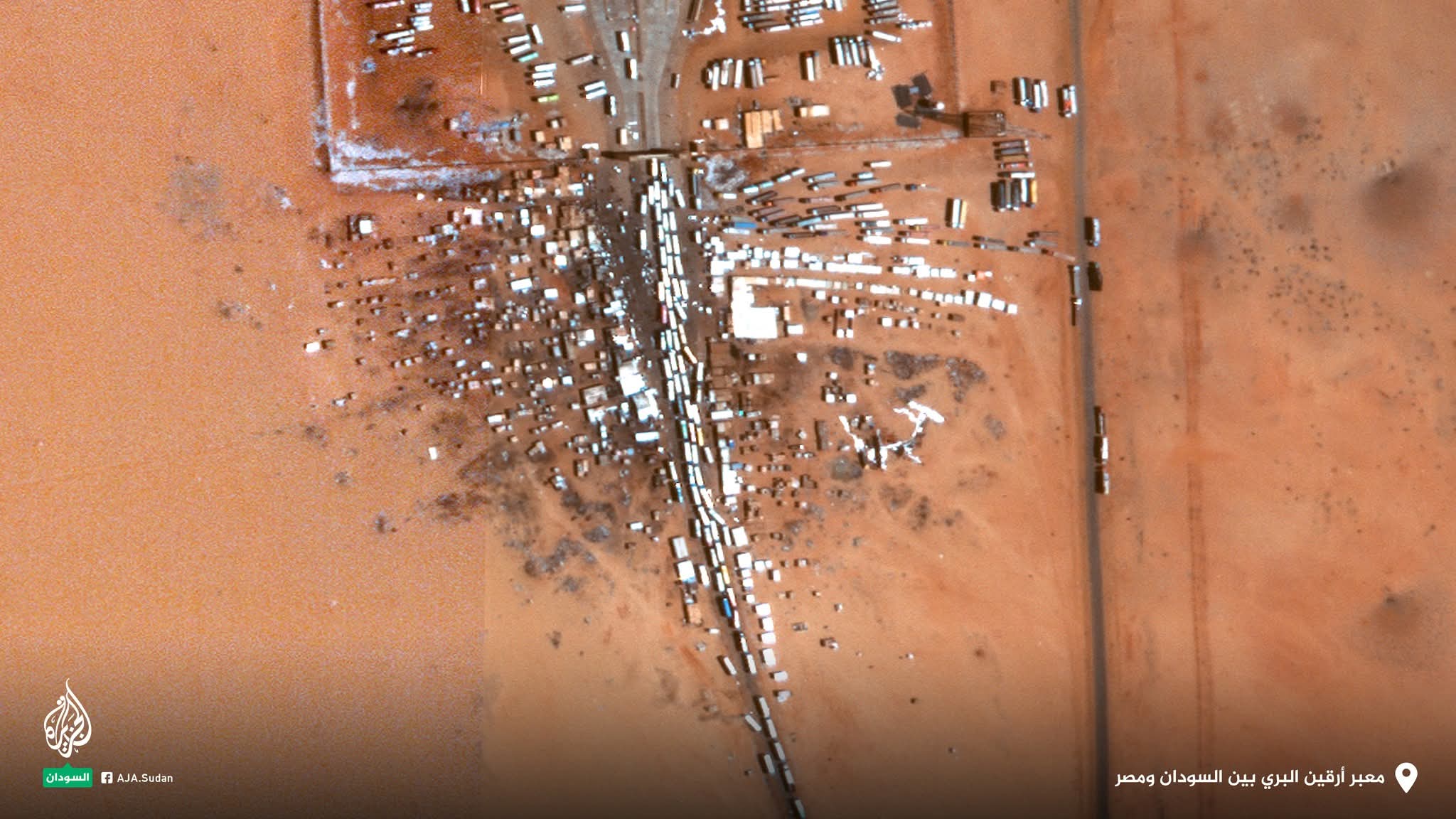
Recently captured satellite images have revealed the emergence and expansion of two displacement camps in North Darfur and Northern State, amid the intensifying war in Sudan and the takeover of El Fasher by the Rapid Support Forces (RSF).
The Digital Investigations Unit of Al Jazeera Network, known as “Sanad,” analyzed the transformation of large areas into overcrowded shelters for displaced people. Satellite image analysis showed the establishment of a new displacement camp in the town of Qarni, northwest of El Fasher, following the fall of the city to RSF forces on October 26.
Images taken between October 25 and December 29 show a camp that has been continuously doubling in size. High-resolution satellite images captured on December 14 revealed that the camp covered an area of 186,000 square meters, but within just two weeks it expanded by 13,000 square meters, reaching a total area of 199,000 square meters.
Approximately 700 kilometers north of El Fasher, other satellite images show a significant expansion of Al-Afād (Al-Afad) camp east of the city of Al-Dabba in Northern State.
The images indicate a clear increase in the number of tents and the occupied area, coinciding with the influx of displaced people into the camp since early November.